01
PRO
Water along your route
Pick the water stops and facilities you want along the way, then open the lot in Google Maps as one trip. For offline route planning, download also Google Maps from that area.
Find drinking water taps and fountains along your route, and see what other users have said about them.
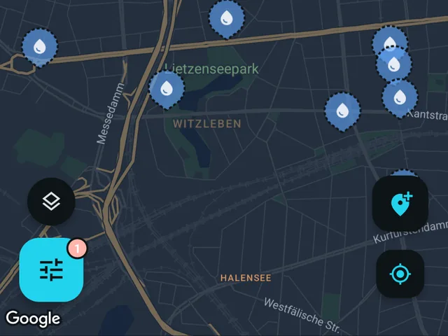
Whether riding for an afternoon or for weeks, it helps to know where the next refill is. Fontavio shows it, near you or anywhere you look on the map.
Fontavio maps public drinking water and fill-up points across Europe, US and Canada, so a day can be planned around real refill points. Besides drinking fountains, it lists fill-up taps, toilets and showers, and users can add places that are missing.
The Pro route planner lets you select several refill points and open them in navigation as one trip.
Rural stretches are also where mobile coverage disappears, so offline maps run with no signal needed. Route planner opens the route in Google Maps, so downloading offline areas also from Google Maps is recommended if you intend to use route planner offline.
Pick the water stops and facilities you want along the way, then open the lot in Google Maps as one trip. For offline route planning, download also Google Maps from that area.
Pick an area on the map and download it. The base map, the places and their details all come with it, opening hours and reviews included, so everything keeps working with no signal at all. Photos are the one thing left out, to keep the download small. Built for valleys, borders and prepaid data.
You can see what is closest or pick a place on the map, then follow the compass or use navigation. A home-screen widget and app shortcut open straight into the closest one, so it is one tap from a locked phone.
Search any city or address to see it on the map, so you can plan the route based on water services.
Search any city and the map jumps there. These pages show samples of the available data and statistics for cities.
More in the full FAQ.
Free on iOS and Android. No account needed to browse.